Utah ~ March 26-27, 2007
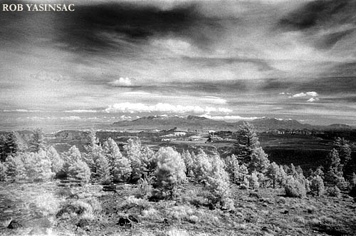
Larb Hollow Overlook, east of Capitol Reef.
(Black and white infrared film, with some fogging at left.
CAPITOL REEF NATIONAL
PARK
Utah ~ March 26-27, 2007
Larb Hollow Overlook, east of Capitol
Reef.
(Black and white infrared film, with some fogging at left.
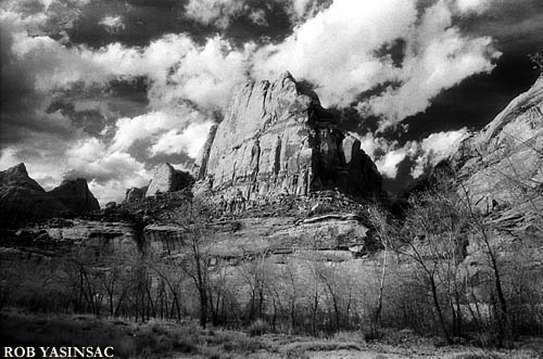
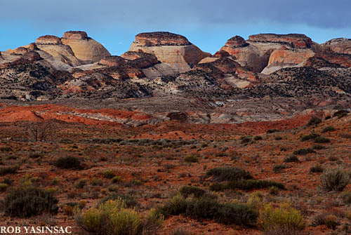
Perhaps the least-famous of Utah's National Parks, Capitol Reef was probably my favorite of the three I visited in March of 2007. Its varied landscape and different types of hikes offer more surprises than Bryce Canyon and Arches. The backcountry" offers perhaps the wildest scenery in the park, including Cathedral Valley - rent a four-wheel drive vehicle if you are heading out this way. Capitol Reef is actually a small part of what is known on the whole as the Waterpocket Fold, which is best described as "a 100-mile long wrinkle in the earth's crust." The domes of Capitol Reef were said to resemble the United States Capitol. The village of Fruita is now the site of the Visitor Center and campground. A schoolhouse and farm buildings and orchards remain today.
Offsite Link : http://www.nps.gov/care/
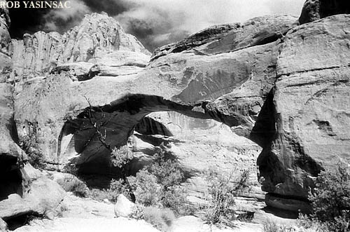
Hickman Bridge
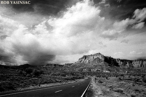
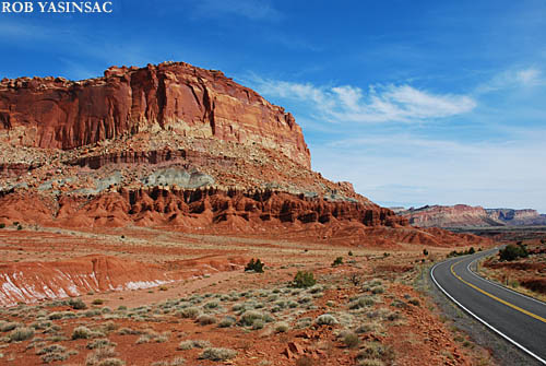
Above and below: views along Highway 24 west
of the Visitor Center
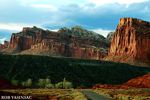
Above and below; Views along Scenic Drive, a day apart.
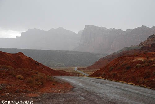
Looking west, from Notom Road
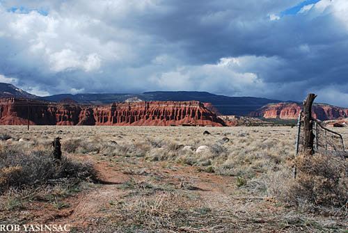
Pasture gate, near Capitol Reef Inn - perhaps
the best place for eats in Torrey, UT.
CAPITOL
REEF
- PAGE 2 PHOTOS
This page copyright © 2008 by Robert J. Yasinsac.
Reproduction of these photos without the permission of Robert Yasinsac is
prohibited.