Utah ~ March 26-27, 2007
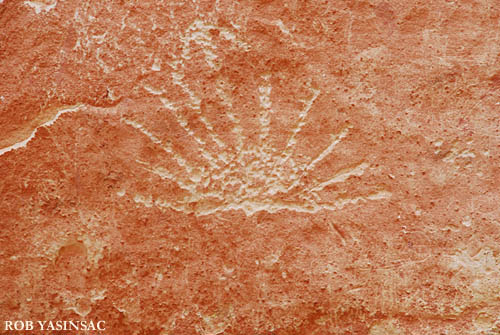
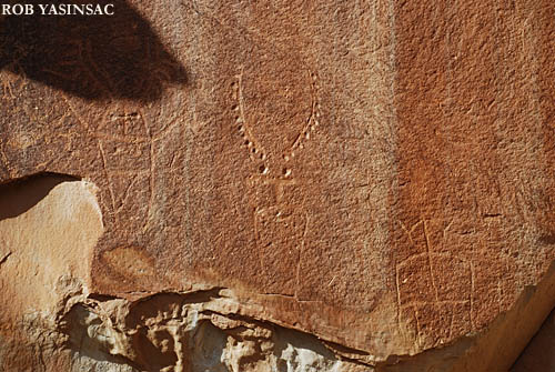
Above and below: Native American petroglyphs at Capitol Gorge (above) the Fremont Nature Walk (below)
CAPITOL REEF NATIONAL
PARK
Utah ~ March 26-27, 2007
Above and below: Native American petroglyphs
at Capitol Gorge (above) the Fremont Nature Walk (below)
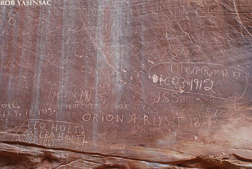
The Pioneer Register at Capitol
Gorge.
Before the construction of Highway 24, the Capitol Gorge was
a primary east-west thoroughfare for 19th- and early 20th-century travelers.
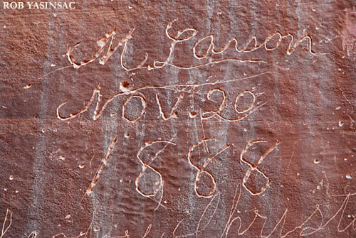
M. Larson
Nov. 20
1888
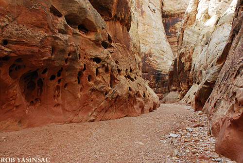
The Grand Wash.
The washes can fill up pretty quickly in a rainstorm, and a hiker has little
chance of escaping to higher ground once inside the wash. The soft, gravelly
surface makes walking slow-going in there (more so when one is carrying twenty
or thirty pounds of camera gear and a tripod). The Grand Wash is another level
cut through the Waterpocket Fold.
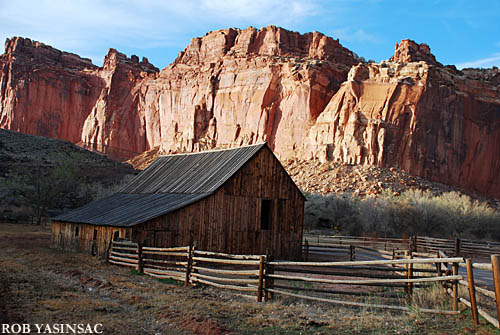
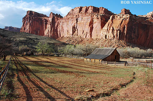
Above and below: views of the Fruita farm
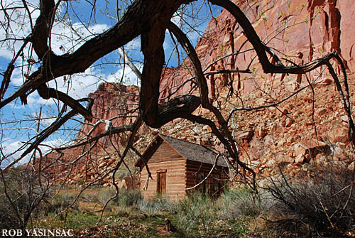
Fruita School
CAPITOL
REEF - PAGE 1 PHOTOS
This page copyright © 2008 by Robert J. Yasinsac.
Reproduction of these photos without the permission of Robert Yasinsac is
prohibited.